SESAR members recently completed a gaming exercise, led by Enav, exploring how remotely-piloted aircraft systems (RPAS) or large drones could be enabled to operate safely and efficiently on the airport surface, integrating with manned aircraft and operating in full compliance with air traffic control (ATC) requirements. Partners in the Integrated Surface Management (SUMO) project will now feed the lessons learned from the gaming exercise into a series of real-time validations, scheduled for 2019.
The use of commercial drones continues to accelerate. Operators of drones, especially larger remotely-piloted drones that can fly at higher altitudes and can remain airborne for many hours or even days at a time, are increasingly seeking access to airports. These drones are subject to the same rules, procedures and appropriate performance requirements as any other airport user so, in order to ensure safe airport surface operations, they must be shown to interface with ground-based airport systems and demonstrate their ability to act and respond to ATC and other surface users just like conventional manned aircraft also in case of unexpected events.
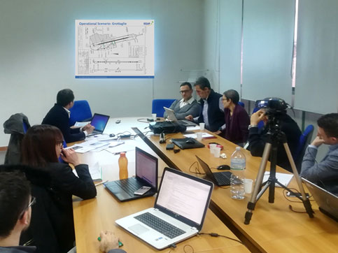
A two-day workshop in December 2017, hosted at Enav Airport Center in Napoli Capodichino, brought together air traffic controllers and RPAS pilot, with human factors, safety and drone experts belonging to the Enav and its Linked Third Parties (Techno Sky, IDS, NAIS). Together they looked at the technical capabilities and procedural means needed to enable drones to comply with ATC instructions and to integrate with other manned traffic into surface operations.
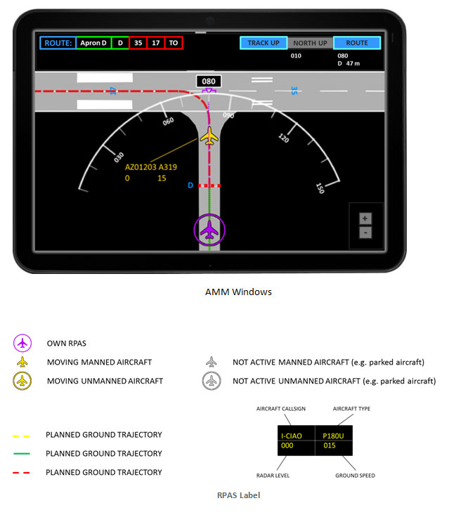
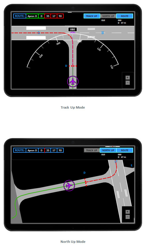
During the gaming exercise, participants focused on surface operations by drones. Specific use cases related to “taxi-in” and “taxi-out” operations in both nominal and contingency situations (loss of command and control, loss of communication) were assessed based on the Taranto Grottaglie Airport environment. In addition, the integration of an interactive mock-up of airport moving map (provided by NAIS) into a drone pilot ground control station was also assessed.
Feedback was collected from controllers and pilots through focus groups, brainstorming and questionnaires. With this information, the project partners plan to further detail the key safety and performance areas that should be addressed, and to define new operational requirements. The aim is to deliver a solution (PJ.03a-09) that enables the safe integration of drones in airport environments, defining guidelines related to contingency situations on the ground, such as loss of command & control and loss of communication. Real-time simulations are planned in 2019 to validate the solution to the next level.


