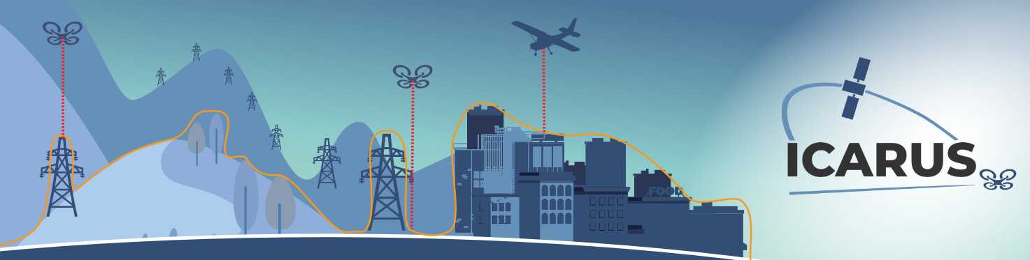
Unmanned aerial systems (UAS) share very low-level (VLL) airspace with conventional aircraft. To maintain separation among all users of this airspace, the altitudes of all aircraft must be known unambiguously through a common datum. However, while manned aviation uses pressure altitude obtained from barometric readings, UAS may use other systems such as GNSS-based altitudes.
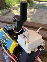
New methods and procedures are needed for the expected large numbers of drones that operates in the VLL airspace, especially over cities where the existing altitude references cannot always address the challenges arising from flying near, or sometimes even below, ground obstacles. ICARUS carried out a thorough analysis of the challenges involved in drone operations conducted in VLL airspace, including a public survey, and gap analysis. With this information, the project defined a system architecture and prototype to validate the ICARUS concept of operations (ConOps).
The research proposed an innovative solution for a common altitude reference in VLL airspace by defining new U-space services and validated the findings in real operational environments. The solution enables both traditional and new unmanned airspace users to continue to use their preferred altitude reference system while ensuring safety and interoperability. Additionally, those embracing the full range of ICARUS services benefit the most from added functionalities regarding obstacle detection and avoidance, and the added accuracy of height measurements.
The ICARUS concept is based on six U-space services: three existing, and three defined by the ICARUS project New services include real-time geospatial information service (RGIS), vertical conversion service (VCS), and the vertical alert service (VALS). All six services are referenced in the draft ISO DIS 23629-12, UAS Traffic Management – Requirements for UTM service providers, ensuring that the results of the project is used by the community.
Benefits
- Common altimeter reference for all airspace users
- Enhanced capacity management in congested airspace
- Ground obstacle alert service in VLL airspace